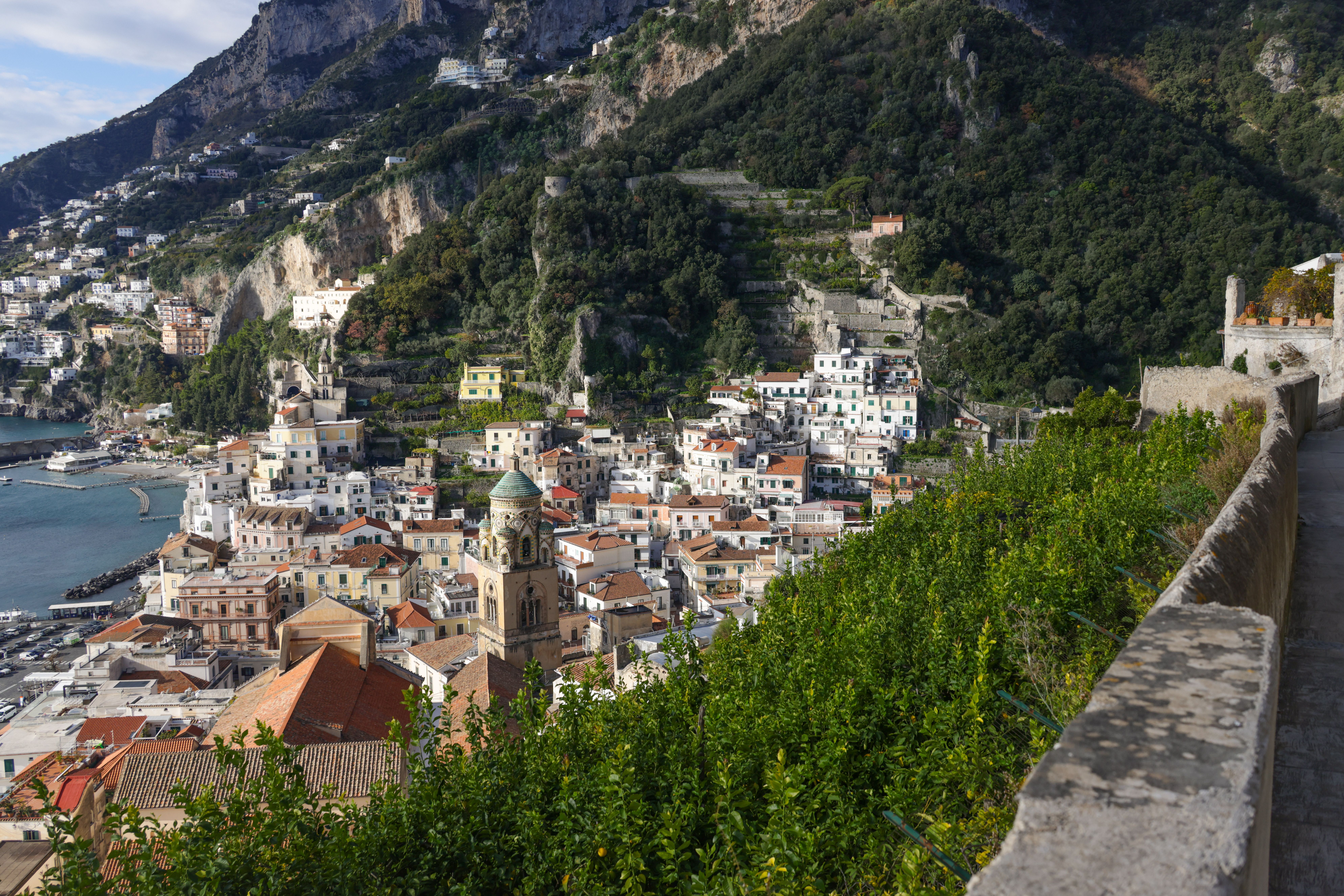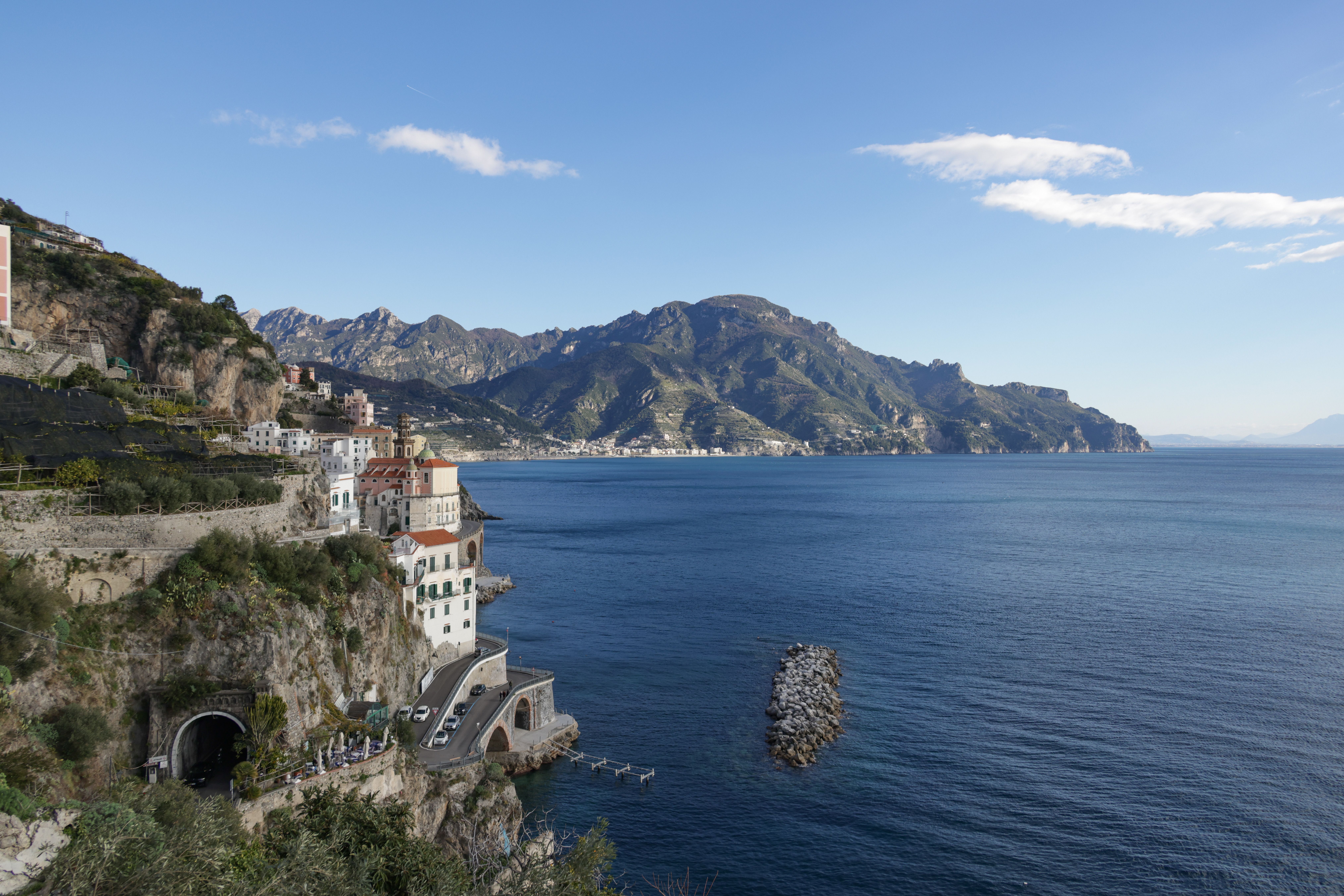
Satellite imagery has documented a large, visibly burned area across parts of Amalfi, Conca dei Marini and Agerola, showing the environmental impact of recent fires on the Amalfi Coast. The images show a broad dark scar on the hillsides, where Mediterranean scrub was described as reduced to ash.
The affected landscape included Mediterranean scrub, holm-oak woodland, pine areas and agricultural land. The Municipality of Agerola characterized the event as severe environmental damage and said its effects would remain visible for years.
No verified figure for the total burned area in hectares was provided in the available reports. The precise fire perimeter and the extent of overlap between the areas described in different reports also remain unclear.
Vettica–San Lazzaro: firefighting operation and transport disruption
The fire affected the area between Vettica and San Lazzaro and required sustained firefighting operations, including aerial support with Canadair aircraft.
Emergency measures included the closure of a road near Hotel Santa Rosa at Conca dei Marini and the suspension of Sita bus services to and from Agerola. Travelers in the area faced modified circulation and interrupted connections while operations were underway.
Why satellites are used to document burned areas
Satellite-based systems such as the European Forest Fire Information System, known as EFFIS, are designed to support the monitoring and mapping of forest fires and their environmental effects.
In practice, this type of satellite observation allows authorities and the public to see the extent and location of burned vegetation after a fire, complementing ground surveys. The published image in this case made the damage between Amalfi, Conca dei Marini and Agerola visible at a glance.
The satellite platform, image date, spatial resolution and analytical method used for the published image were not identified in the acquired sources.
Investigations into the origin of the fires
Investigative activity was underway following the fires, including involvement by the Carabinieri's forest-fire investigation specialists.
That unit, the Nucleo Informativo Antincendio Boschivo, conducts technical surveys of burned woodland and investigative work aimed at determining the origin or causes of fires. Its examinations focus on the burned area itself and the circumstances that may explain how the fire started.
Allegations that the fires were deliberately started, including references to possible ignition devices, were under investigation and were not established as a final judicial finding.
What is still not known
The long-term consequences for erosion, biodiversity, agricultural productivity and hydrogeological risk are not quantified in the acquired sources. What is established is the immediate picture: a large burned swath across three municipalities, damage to scrub, woodland and farmland, a major aerial and ground response, and an ongoing technical investigation into how the fires began.