Unstable weather is continuing across the Sannio, with rain and thunderstorms still possible until Tuesday afternoon. The yellow weather alert covering the area remains in force until 14:00 on Tuesday, 3 November.
The extension applies to the Campania alert zones that include Alta Irpinia and Sannio. Rainfall and thunderstorms affecting Campania were expected to gradually weaken, while showers or thunderstorms could continue in the Sannio area.
Alert in force through Tuesday
Alta Irpinia and Sannio were listed among the areas of Campania under a yellow hydrogeological alert for Monday, 2 November, according to the national criticality bulletin.
The local Sannio alert was then extended through 14:00 on Tuesday, 3 November. Unstable conditions and further showers or thunderstorms remained possible during that period.
Alert conditions can change with subsequent bulletins and evolving weather conditions.
Expected hazards
The national Civil Protection forecast for 2 November reported widespread precipitation, with locally intense showers or thunderstorms, strong gusts, hail and frequent lightning, and a yellow alert in Campania.
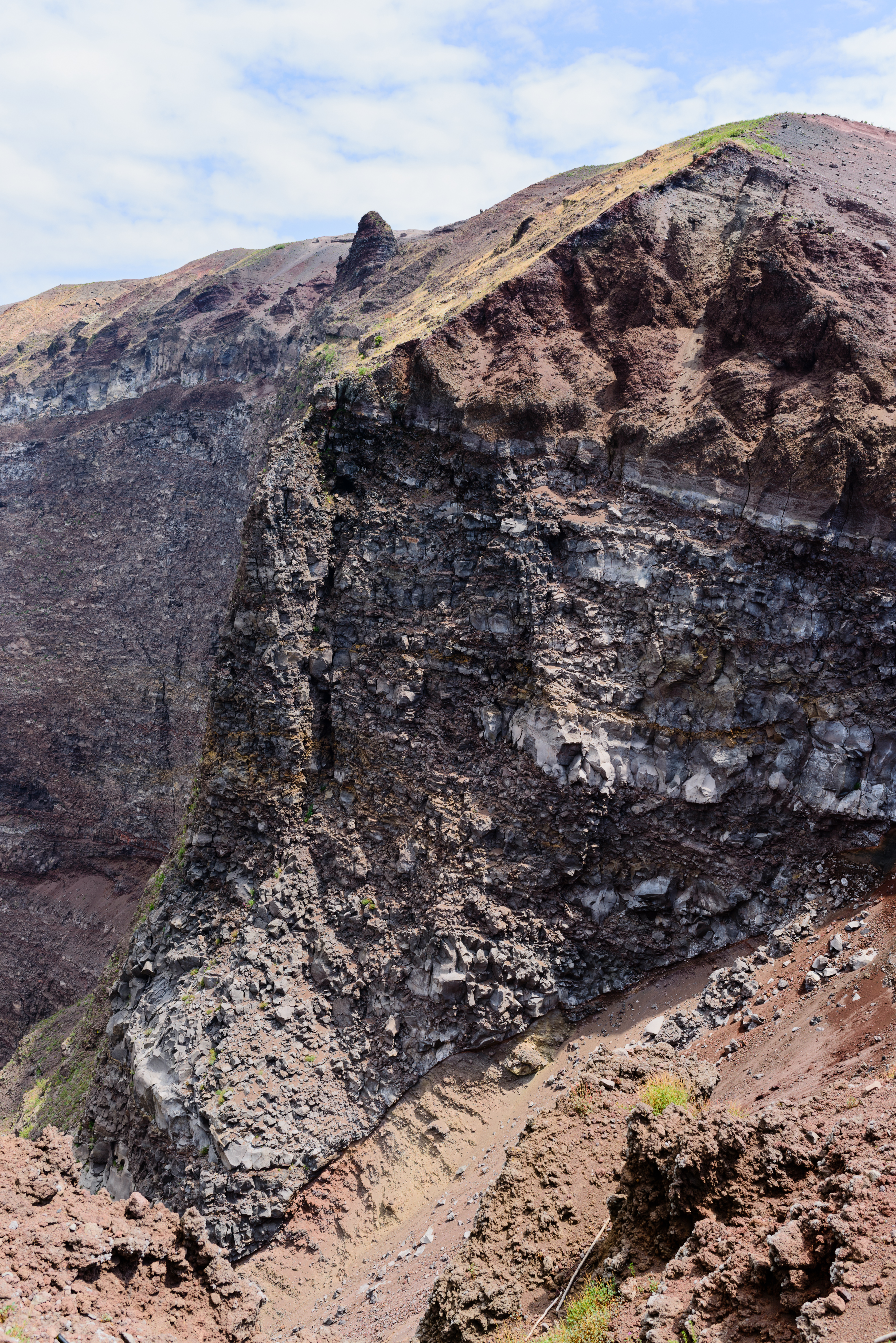
For the Sannio, the reported local risks included flooding, river-level rises, runoff on roads, rockfalls and landslides. Saturated soils could sustain the risk even after rainfall decreases.
No specific damage, road closures or municipal emergency measures in the Sannio were documented in the sources acquired. The exact rainfall totals and timing of individual thunderstorms for each Sannio municipality were not specified.
Wind alert ends first
The Campania-wide wind alert was scheduled to end earlier, at 23:59 on Monday, 2 November.
The rain-related yellow alert for Alta Irpinia and Sannio therefore remains in force after the wind alert expires, continuing until 14:00 on Tuesday.
What readers should keep in mind
A yellow hydrogeological alert means that localized flooding, river-level rises and slope instability are possible. In this case, the cited concerns include runoff on roads as well as rockfalls and landslides.
Because soils were already saturated, caution remains appropriate even as precipitation gradually weakens. Further showers or thunderstorms cannot be ruled out until the extended alert period ends on Tuesday afternoon.